Description
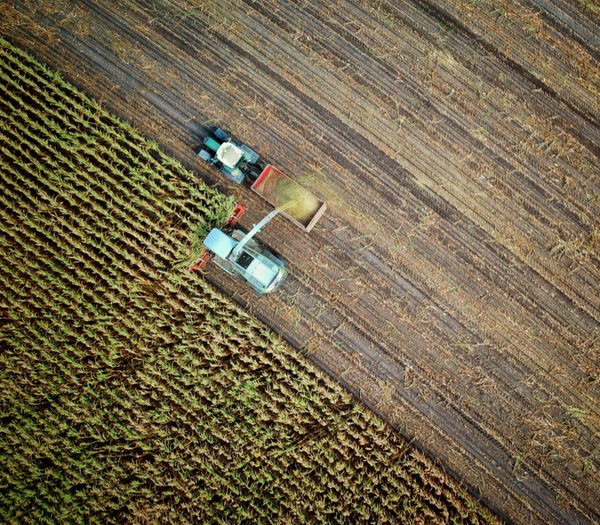
Pixagri helps you to detect sub-field and inter-field variations at an early stage, thereby providing more accurate information on which to make decisions. By giving you the “big picture”, it also lets you spot problems and thus sprend less time walking fields. And at field level, Pixagri shows you where to focus your attention.
Pixagri gives you a more precise picture of your fields, making sure you take the right decision, on time, and in the right place.
It is using a software application called Overland, which implements a unique image processing methodology that doesn’t depend on local and weather conditions. Because we understand that you need reliable information, at the right time in the right place, our crop science domain experts work with you and systemztically check maps before they are delivered.


Reviews
There are no reviews yet.