Description
Highlights:
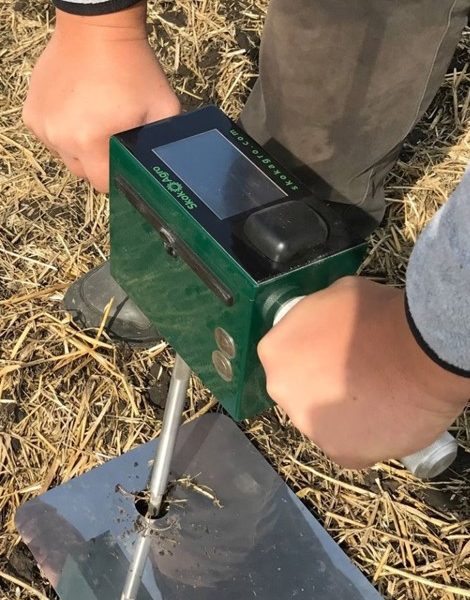
- GPS-connected measurements
- Mobile data exchange 2G/3G/LTE
- WEB-based software platform
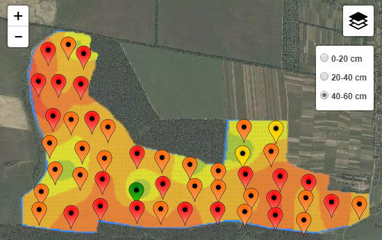
- Multi-layer soil compaction maps
- Soil compaction interpolation maps
- Precise multilayer measurements
- Identifies hidden soil compaction
- Working depth – up to 60 cm
- 1 cm measurements step
Soil compaction visualization example


Reviews
There are no reviews yet.