
Description
A detailed inventory of land use and land cover is required to optimize land and water management. Nature conservancy, erosion control, and appropriate water management are typical examples of applications where ultra-high resolution of vegetation is required. Especially change detection over shorter (days to weeks) or longer (seasons, years) time periods provides essential information for responsive management.
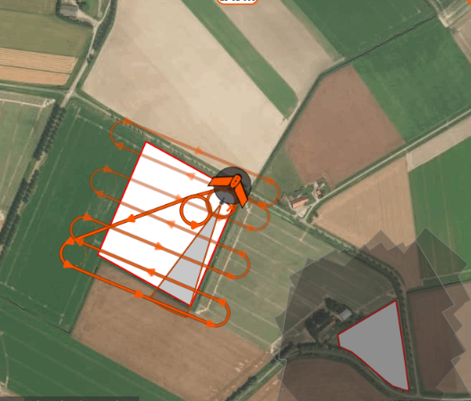
HiView’s Flying Sensors can deliver resolutions up to 2 cm to be used to monitor vegetation and changes in land cover. Such an ultra-high resolution, in combination with a flexible timing of the image acquisition and HiView’s advanced interpretation software, deliver the most accurate and detailed vegetation information available today.
Reviews
There are no reviews yet.