
Description
ag|knowledge is a global service for mobile and web applications allowing easy access and integration of satellite remote sensing data into your agricultural ICT application. Our Application programming interface (API) provides access to satellite field monitoring products for registered parcels. The data for each parcel will be immediately updated as soon as new measurements are available.
Our REST API is designed for the integration into Farm Management Systems, Agricultural Advisory Systems, Finance & Insurance Applications, Mobile apps and other systems related to precision farming. ag|knowledge provides near-real-time satellite imagery, plant vitality maps and advanced analytics such as:
-
- Crop health maps
- Time series statistical parameters
- Vegetation indices
- Historical information
- Sensor values
ag|knowledge uses state-of-the-art Earth Observation techniques for agricultural applications developed by remote sensing experts. It can be used for various use cases like crop health monitoring, precision farming, yield forecasting or generating notifications based on big data techniques. It delivers more data than other systems even in cloudy situations for agricultural field in the world.
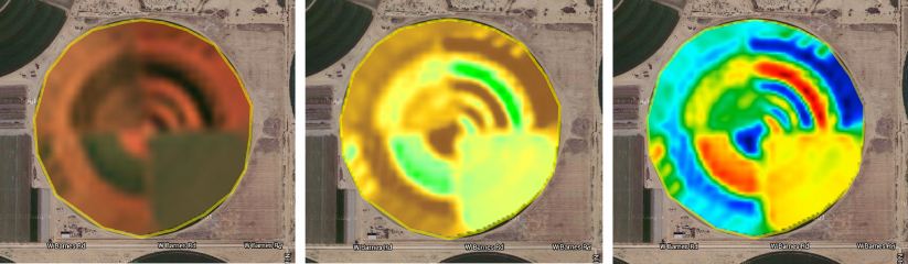
True colour and vitality images checks the crop growth and overall health. While variation maps highlight the fields different growth rate. Our analytic tools enable farmers to see with ease how the land is developing and to compare it to other fields. GeoCledian provides an update on the field status approximately every fortnight and on many occasions even less, which is 50% more often than other providers.
Reviews
There are no reviews yet.